

DNREC Menu
Beginning in the 1990s, the Department of Natural Resources and Environmental Control (DNREC) took a different approach to assessing, managing, and protecting Delaware’s natural resources. This approach, known as Whole Basin Management, encouraged the various programs throughout DNREC to work in an integrated manner to assess different geographic areas of the state defined on the basis of drainage patterns.
There are four major drainage basins in Delaware: the Piedmont Basin, the Delaware Bay and Estuary Basin, the Chesapeake Bay Basin, and the Inland Bays and Atlantic Ocean Basin.
For each basin, the Whole Basin Management team prepared technical assessment reports that gathered together data and information needed by planners. They also created environmental profiles to share information with the public.
In 2013, Division of Watershed Stewardship staff met to evaluate progress towards implementing recommendations that had been laid out in the Whole Basin Assessment Reports they published a Statewide Progress Report and progress reports for each basin.
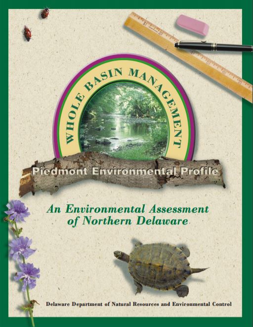 The Piedmont Basin is found within two physiographic provinces: the Piedmont Province and Atlantic Coastal Plain Province. Delaware’s Piedmont Province occupies the northernmost six percent of the state and is commonly referred to as “Delaware’s hard rock country.” The basin takes its name from this geologic province in which it primarily resides — “the Piedmont” — which literally means lying at the base or the foot of the mountains.
Within Delaware, this basin’s drainage area is approximately 182 square miles and encompasses the Brandywine Creek, Christina River, Naamans Creek, Red Clay Creek, Shellpot Creek, and White Clay Creek watersheds.
Piedmont Basin Assessment (1998)
Piedmont Basin Environmental Profile (1998)
Piedmont Basin Progress Report (2014)
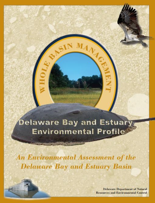 The Delaware Bay and Estuary Basin is located in eastern New Castle, Kent, and Sussex counties. It is named for the area which it drains to — the Delaware Bay and Delaware Estuary.
Within Delaware, this basin’s drainage area is approximately 793 square miles, and encompasses the Delaware River, Army, Creek, Red Lion Creek, Dragon Run Creek, Chesapeake & Delaware Canal, Appoquinimink River, Blackbird Creek, Delaware Bay, Smyrna River, Leipsic River, Little River, St. Jones River, Murderkill River, Mispillion River, Cedar Creek, and Broadkill River watersheds.
Delaware Bay Basin Assessment (2005)
Delaware Bay Basin Environmental Profile (2005)
Delaware Bay Basin Progress Report (2014)
 The Chesapeake Basin is located in western New Castle, Kent, and Sussex counties. It is named for the water body that rivers and creeks in the western part of the state drain to — the Chesapeake Bay. Delaware’s portion of the Chesapeake Basin consists of headwater areas, the uppermost reach of a river or stream and the area where a waterway originates.
Within Delaware, this basin’s drainage area is approximately 702 square miles and encompasses the Bohemia Creek, Broad Creek, C & D Canal West, Chester River, Choptank River, Deep Creek, Elk Creek, Gravelly Branch, Gum Branch, Marshyhope Creek, Nanticoke River, Perch Creek, Pocomoke River, Sassafras River, and Wicomico watersheds.
Chesapeake Bay Basin Assessment (2001)
Chesapeake Bay Basin Environmental Profile (2001)
Chesapeake Bay Basin Progress Report (2014)
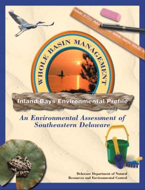 The Inland Bays/Atlantic Ocean Basin is located in southeastern Sussex County. It is named for the water bodies into which it drains — the Inland Bays and Atlantic Ocean.
Within Delaware, the basin’s drainage area is approximately 327 square miles and encompasses Assawoman, Buntings Branch, Indian River, Indian River Bay, Iron Branch, Lewes-Rehoboth Canal, Little Assawoman, and Rehoboth Bay watersheds.
Inland Bays Basin Assessment (2001)
Related Topics: assessment, clean water, management, water quality, watershed, watershed stewardship, whole basin
Delaware's Governor
State Agencies
Elected Officials
General Assembly
Delaware Courts
State Employees
Cities & Towns
Delaware State Code
State Regulations
Business First Steps
Phone Directory
Locations Directory
Public Meetings
Voting & Elections
Transparency
Health Insurance
Tax Center
Personal Income Tax
Privacy Policy
Weather & Travel
Contact Us
Corporations
Franchise Tax
Gross Receipts Tax
Withholding Tax
Delaware Topics
Help Center
Mobile Apps
E-mail / Text Alerts
Social Media

Built by the Government Information Center
©MMXXIV Delaware.gov