

DNREC Menu
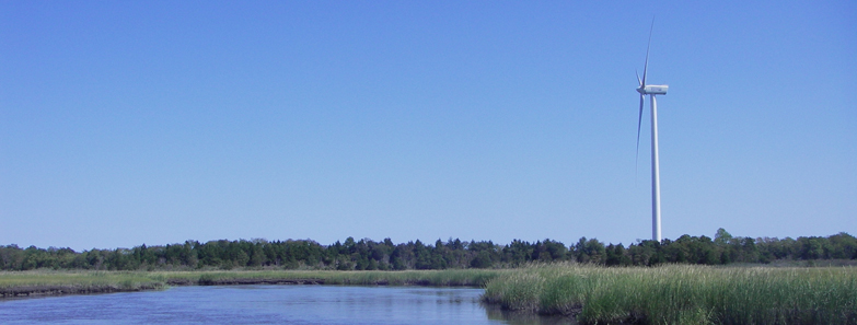
The Broadkill River watershed in Sussex County encompasses 68,500 acres within the Delaware Bay and Estuary Basin. Twenty percent of the watershed is covered in wetlands.
In 2010 DNREC researchers assessed the tidal and nontidal wetlands located within the watershed to determine the overall condition and status of the present wetlands. The project documented the conversion of 75 acres of freshwater wetlands into development or agricultural use.
Coastal wetlands in Prime Hook National Wildlife Refuge and Broadkill beaches were lost to development and conversion to open water. However, it was determined that there was an overall increase in wetland acreage due to the creation of low-functioning stormwater retention ponds.
With an overall condition grade of a C+, is imperative to support the valuable resources within the Broadkill River watershed.
Based on this study, several recommendations were made to improve management and encourage informed decision making. These included:
The wetland assessment data garnered from this study will be used to design a restoration strategy for the Delaware Bay Watershed. The plan will be developed by an interagency team of scientists and managers.
Opportunities for both increasing wetland quality and quantity in target areas will be identified by integrating the data from the wetland monitoring and assessment program with data from other strategies and efforts.
For more information about the Condition Report, contact Alison Rogerson, at 302-739-9939.
Related Topics: assessment, broadkill, river, watershed, watershed stewardship, wetlands
Delaware's Governor
State Agencies
Elected Officials
General Assembly
Delaware Courts
State Employees
Cities & Towns
Delaware State Code
State Regulations
Business First Steps
Phone Directory
Locations Directory
Public Meetings
Voting & Elections
Transparency
Health Insurance
Tax Center
Personal Income Tax
Privacy Policy
Weather & Travel
Contact Us
Corporations
Franchise Tax
Gross Receipts Tax
Withholding Tax
Delaware Topics
Help Center
Mobile Apps
E-mail / Text Alerts
Social Media

Built by the Government Information Center
©MMXXIV Delaware.gov